Louisville Drought Eases After 15 Dry Days
Rain chances return to the Kentucky city this week, following a two-week streak without measurable precipitation.
By Arjun Wojcik ·
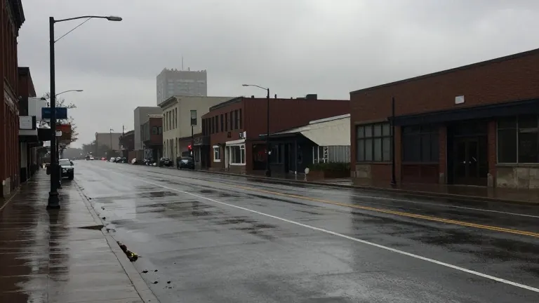
Louisville, Kentucky, has not recorded measurable rainfall in 15 days. Local forecasters report that the region is experiencing a slowly increasing drought. Weather models indicate two upcoming opportunities for precipitation that could alleviate the dry conditions.
The current atmospheric state makes for a difficult start. Dry air in the upper atmosphere is preventing moisture from reaching the ground. As a result, light and scattered showers are developing in the southwest. These systems are struggling to saturate the air column completely. Consequently, the western and southwestern communities, particularly those west of Interstate 65, face the highest probability of accumulating rain today. The rest of the metro area may see some accumulation by evening, though totals are expected to remain low.
Tuesday marks Election Day in the United States. Temperatures are forecast to rise into the mid to upper 70s Fahrenheit. This warming pattern sets the stage for a weather front to move through the region early Wednesday morning. Forecasters describe this upcoming system as a better rain chance than the Sunday event.
The warm afternoon temperatures on Tuesday create instability in the atmosphere. This condition allows for the possibility of embedded thunder and lightning within the Wednesday showers. However, current data suggests the storms will primarily develop in the middle of the night and into early Wednesday near daybreak. Because of this timing, the instability is expected to be limited, preventing severe weather in the area for the time being.
If the storm timing shifts earlier, stronger storms could develop. This scenario would leave more instability from the previous afternoon in the system. Forecasters are monitoring this variable over the next few days. Current models estimate rainfall accumulation between 0.50 and 1.50 inches across the area if the Wednesday system performs as predicted. The Local First weather team will continue to update forecasts based on evolving data.
Source: WDRB