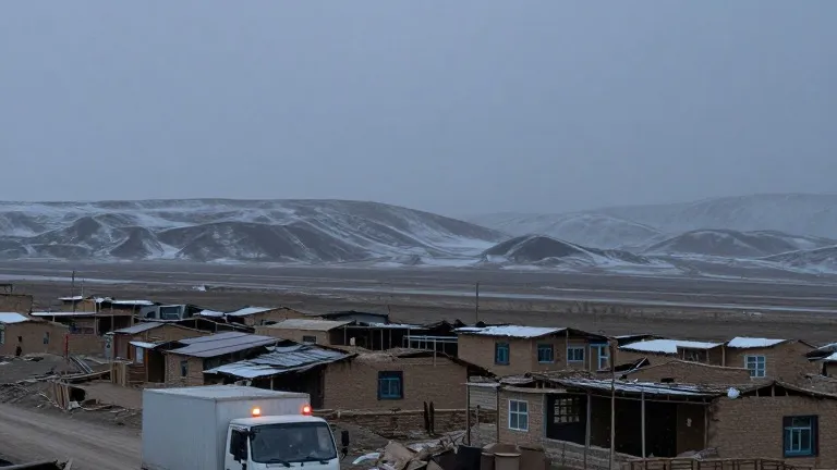
Southern Colorado faces weekend rain and strong winds after mountain flooding
A cold front brings gusts of 45 mph and up to 0.75 inches of rain to the region, following days of hazardous conditions in the San Juan Mountains.
By Arjun Wojcik ·
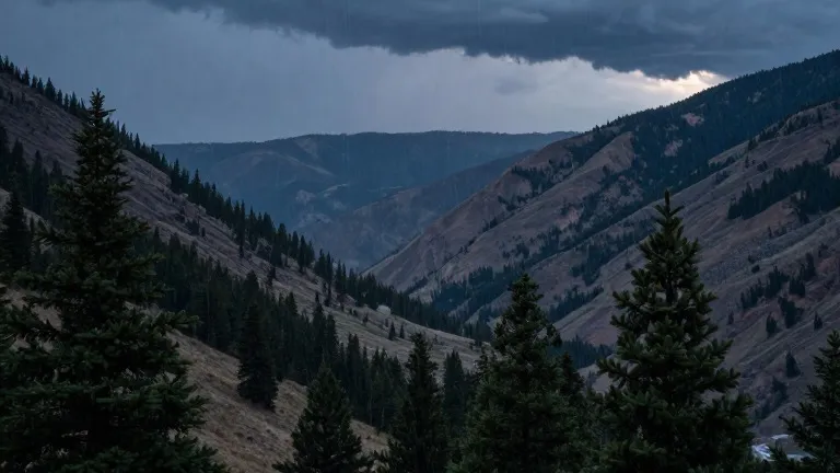
Heavy rainfall and flooding hazards currently threaten the western side of Colorado while scattered showers dampen the eastern plains. A new weather system is poised to change conditions across the state on the weekend, bringing stronger winds and cooler temperatures to areas that have remained warmer than average.
The conflict between dry heat in the east and persistent water in the west has defined the weather pattern this week. Flood watches, severe thunderstorm watches, and flood warnings remain active across the San Juan Mountains and the southwestern corner of the state. These warnings reflect the high risk of mudslides and rising water levels in that region.
The weather has shifted over the past few days. Thursday evening brought scattered showers to the Pikes Peak Region, Pueblo County, and the eastern plains. Overnight lows settled into the 40s and 50s across most of southern Colorado. Farther west, the San Juan Mountains continued to receive heavy rainfall, maintaining the flood risk.
Friday marks the transition point. Colorado Springs is expected to see a low of 51 and a high of 73. Pueblo will range from a low of 55 to a high of 81, while Canon City should reach 75. A brief pause in moisture is forecast for Friday afternoon in the Canon City area, but a cold front is set to move through Friday night. This front will push a new wave of moisture into the region.
Temperatures will drop as the front crosses Colorado early Saturday. Forecasters expect a cooling of 10 to 15 degrees, bringing values below the seasonal average. Winds will strengthen Friday and continue through the weekend, with gusts reaching 40 to 45 mph across the area. The cold air will also lower snow levels in the mountains, where heavy rain and flood risks are expected to persist through the weekend.
Rainfall totals across the region could range from 0.10 inches to 0.75 inches. The plains may receive decent amounts of precipitation as temperatures fall. The extended outlook indicates a drier period next week, with temperatures returning to more seasonal levels after the cold front passes.
Source: KOAA News5
More World · Colorado Springs news · Report a business · Got a Story?