Near-Record Warmth in Southwest Idaho Gives Way to Midweek Cooldown
Valley temperatures in the mid-70s and possibly near 80 could threaten records in Boise before a cold front brings a sharp drop on Thursday.
By Kateryna Melnyk ·
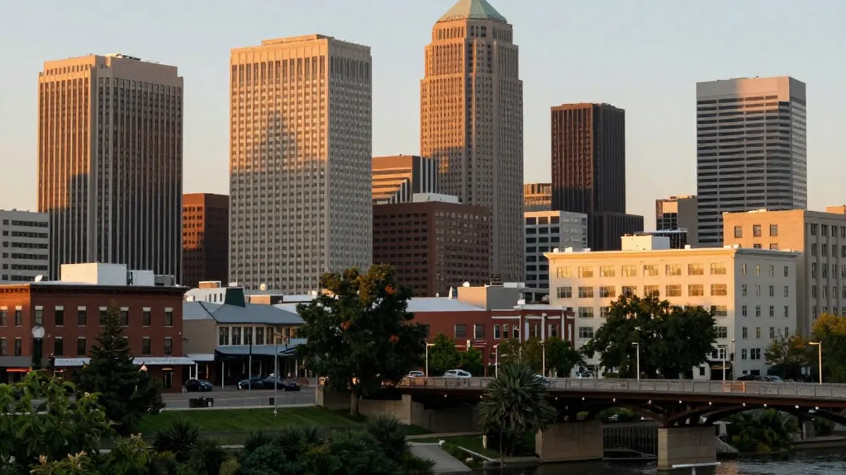
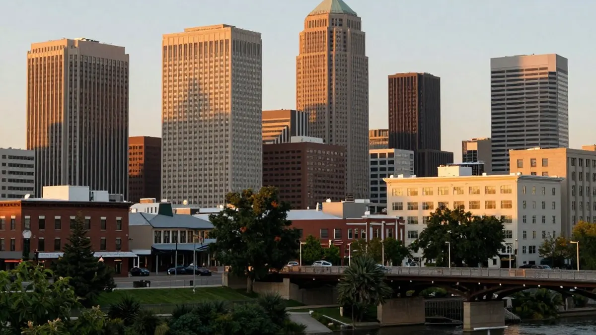
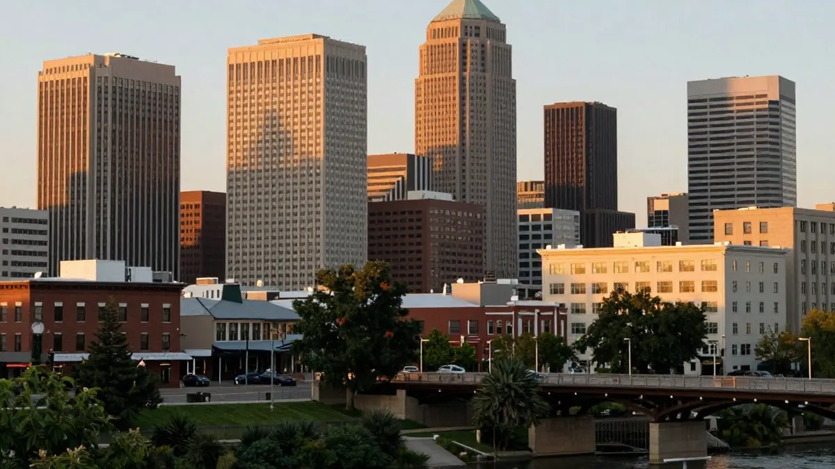
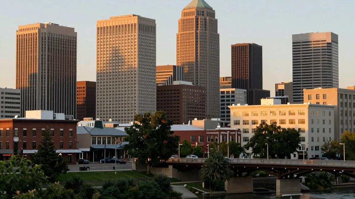
Southwest Idaho and southeast Oregon are experiencing temperatures that feel more like late spring than early March, and the warm stretch is expected to continue through midweek. Many valley locations are forecast to climb into the mid-70s, while a few of the warmer spots could approach 80 degrees.
That puts several communities close to record territory. Based on National Weather Service records, Boise, Burns and Jerome all have a chance of setting new record highs on Tuesday afternoon and again on Wednesday.
A strong ridge of high pressure is behind the warmth, drawing a much warmer air mass up from the south. The pleasant conditions come with a downside, however, as forecasters are flagging an elevated fire danger.
Gusty winds paired with very dry air are expected to raise the risk of fire, especially near the Nevada border on Tuesday and Wednesday afternoons. Gusts of 25 to 45 mph are possible across open areas, which could allow fires to spread more easily after several days of warm, dry weather.
Not all of the region will remain dry. Baker County and the west-central Idaho mountains sit closer to a storm track and face a 30 to 60 percent chance of showers through Wednesday. Rainfall totals are expected to be light, and snow levels will stay above 8,000 feet, so any snow would be limited to the highest elevations.
The pattern shifts late Wednesday when a cold front moves through the region. The front is not expected to bring widespread precipitation, but it will produce another round of gusty winds, particularly along the I-84 corridor, followed by a noticeable temperature drop.
By Thursday, highs are forecast to be 10 to 25 degrees lower than earlier in the week. That would bring readings closer to seasonal norms and make for a much cooler feel overall.
The cool spell should be brief. A weaker ridge of high pressure is set to build back in heading into the weekend, allowing temperatures to recover steadily. By Sunday, valley highs are expected to return to the low to mid-70s under mostly dry conditions.
Looking to early next week, another system is forecast to approach the Pacific Northwest. It could bring increasing chances of mountain showers by Monday and a broader chance of precipitation across the region by Tuesday. The swing from near-record warmth to a sharp cooldown and back again amounts to a classic case of springtime weather whiplash.
Originally published by News Media House · Source: KIVI Idaho News 6